Image Colnect-2575-243-Map-of-Kiribati.jpg

(375 x 252 pixels) |
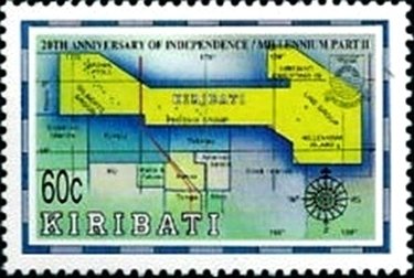
Type: stamp Issuer: Kiribati Date: 1999 Denom: ?
Visibility: public Image owner: none postage 7/12/1999 60c multi issue=20th Anniversary of Independence d=map of Kiribati wmk=crown & CA spiral perf=13.25x13.5 Crops No visible images cropped from this one. Measurements Resolution is unknown. Source Source name: Colnect File URL: http://i.colnect.net/b/2575/243/Map-of-Kiribati.jpg Uploaded July 16, 2015, 9:22 pm by Stan Shebs |