Image Colnect-3160-131-Map-of-Europa-and-Africa.jpg

(379 x 627 pixels) |
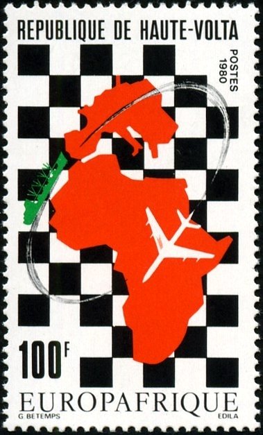
Type: stamp Issuer: Upper Volta Date: 1980 Denom: ?
Visibility: public Image owner: none postage 7/14/1980 100fr d=Europafrica 1980 unwmk Crops No visible images cropped from this one. Measurements Resolution is unknown. Source Source name: Colnect File URL: http://i.colnect.net/b/3160/131/Map-of-Europa-and-Africa.jpg Uploaded June 19, 2017, 3:32 pm by Stan Shebs |