Image Colnect-4718-376-Part-of-Gastaldi-s-Map-of-Africa-16th-Century.jpg

(1024 x 748 pixels) |
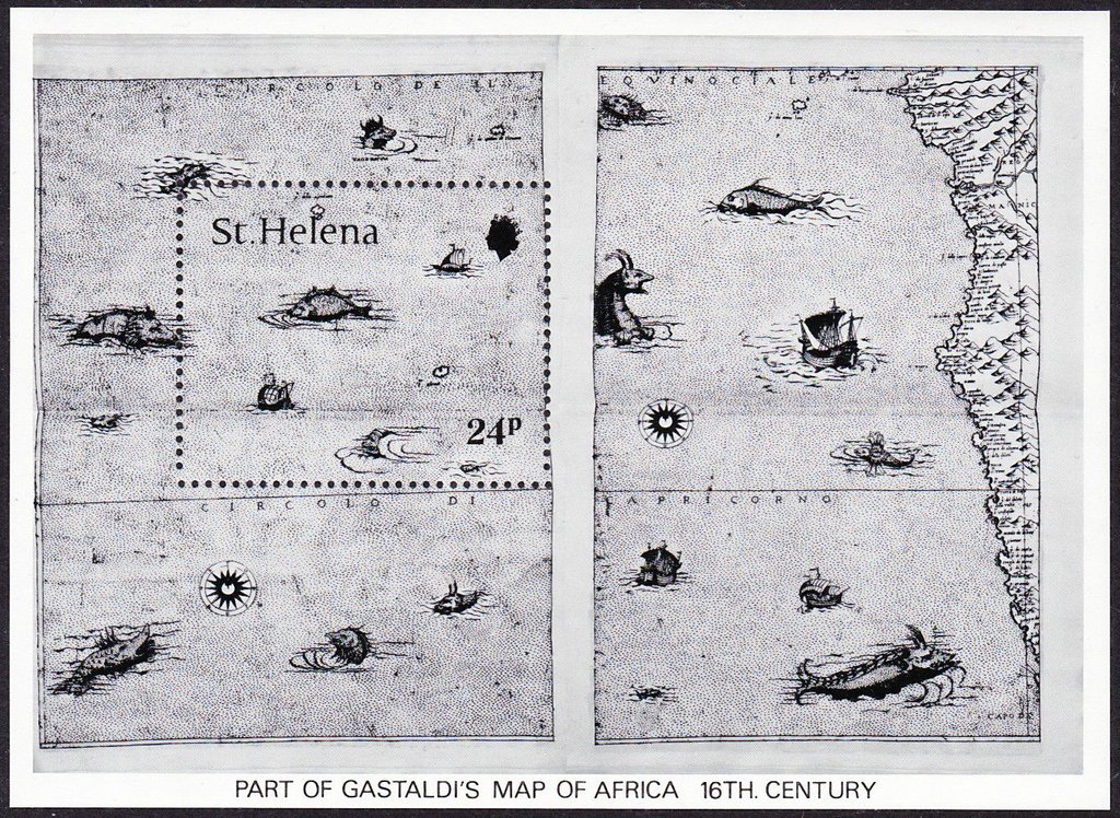
Type: sheet Issuer: St. Helena Date: 1981
Visibility: public Image owner: none Crops No visible images cropped from this one. Measurements Resolution is unknown. Source Source name: Colnect File URL: http://i.colnect.net/b/4718/376/Part-of-Gastaldi-s-Map-of-Africa-16th-Century.jpg Uploaded July 6, 2018, 4:45 pm by Stan Shebs |