Image Colnect-5026-201-Map-of-North-and-South-Dakota-Montana-and-Washington.jpg

(496 x 318 pixels) |
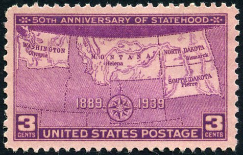
Type: stamp Issuer: United States Date: 1939 Denom: ?
Visibility: public Image owner: none postage 11/2/1939 3c rosevio issue=Washington statehood 50th d=map showing four states unwmk perf=11x10.5 Crops No visible images cropped from this one. Measurements Resolution is unknown. Source Source name: Colnect File URL: http://i.colnect.net/b/5026/201/Map-of-North-and-South-Dakota-Montana-and-Washington.jpg Uploaded April 2, 2019, 1:03 am by Stan Shebs |