Image Colnect-5709-650-Newfoundland-Map.jpg

(974 x 588 pixels) |
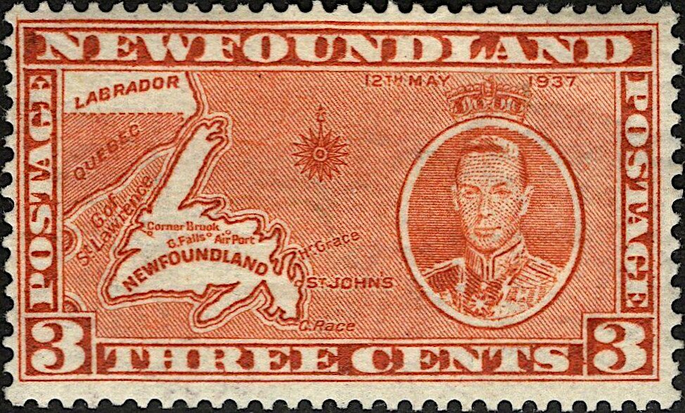
Type: stamp Issuer: Newfoundland Date: 1937 Denom: ?
Visibility: public Image owner: none postage 5/12/1937 3c orgbrn issue=1937 d=map of Newfoundland & King George VI wmk=arms (Newfoundland) Crops No visible images cropped from this one. Measurements Resolution is unknown. Source Source name: Colnect File URL: http://i.colnect.net/b/5709/650/Newfoundland-Map.jpg Uploaded January 6, 2020, 10:12 pm by Stan Shebs |