Image Colnect-177-318-Map-of-the-Netherlands-and-Belgium.jpg

(405 x 575 pixels) |
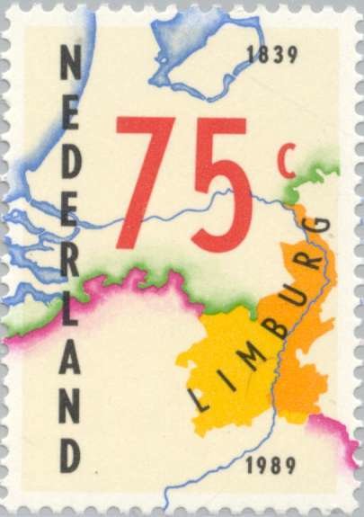
Type: stamp Issuer: Netherlands Date: 1989 Denom: ?
Visibility: public Image owner: none postage 10/2/1989 75c yel&multi issue=Treaty of London 150th d=Map of the Netherlands & Belgium with the performance both unwmk Crops No visible images cropped from this one. Measurements Resolution is unknown. Source Source name: Colnect File URL: http://i.colnect.net/b/177/318/Map-of-the-Netherlands-and-Belgium.jpg Uploaded September 1, 2014, 1:52 pm by Stan Shebs |