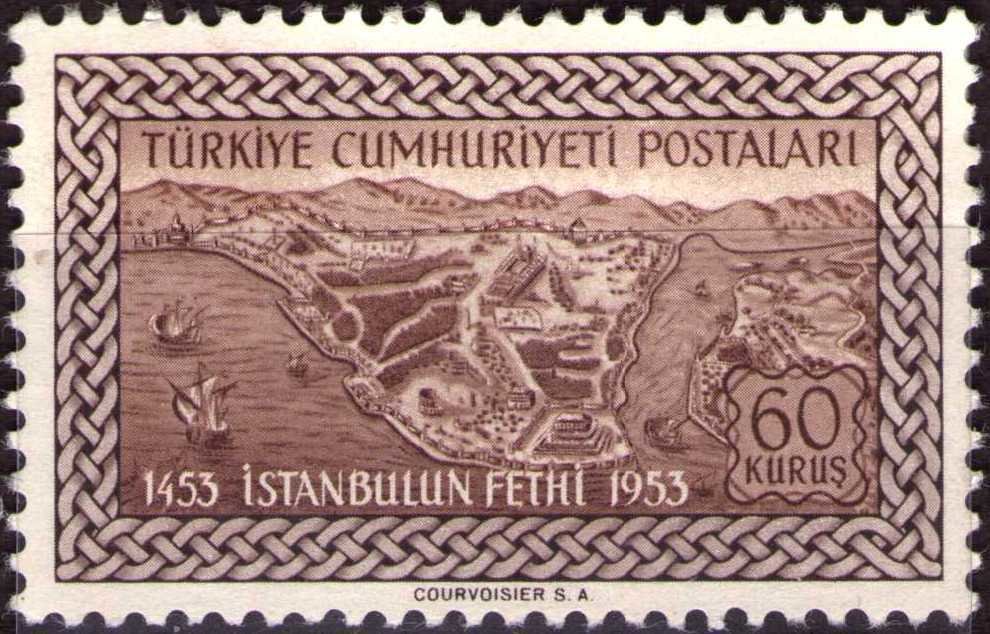
Image Colnect-727-040-Map-of-Constantinople-in-the-15th-Century.jpg

(990 x 634 pixels) |
Type: stamp Issuer: Turkey Date: 1953 Denom: ?
Visibility: public Image owner: none postage 5/29/1953 60k dkorgbrn issue=Constantinople conquest 500th d=Map of Constantinople in the 15th Century unwmk perf=11.75 Crops No visible images cropped from this one. Measurements Resolution is unknown. Source Source name: Colnect File URL: http://i.colnect.net/b/727/040/Map-of-Constantinople-in-the-15th-Century.jpg Uploaded August 17, 2014, 10:31 pm by Stan Shebs |