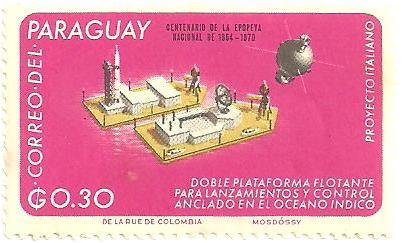
Image Colnect-1722-290-Floating-Launch-and-Control-Facility-Satellite.jpg

(402 x 243 pixels) |
Type: stamp Issuer: Paraguay Date: 1966 Denom: ?
Visibility: public Image owner: none Crops No visible images cropped from this one. Measurements Resolution is unknown. Source Source name: Colnect File URL: http://i.colnect.net/b/1722/290/Floating-Launch-and-Control-Facility-Satellite.jpg Uploaded November 26, 2013, 7:00 pm by Stan Shebs |